


We will survey all accessible floors in the property and provide plans showing all visible walls, windows, doors, spot height levels, ceiling/roof heights, window sill/head heights.
High Street, Thames
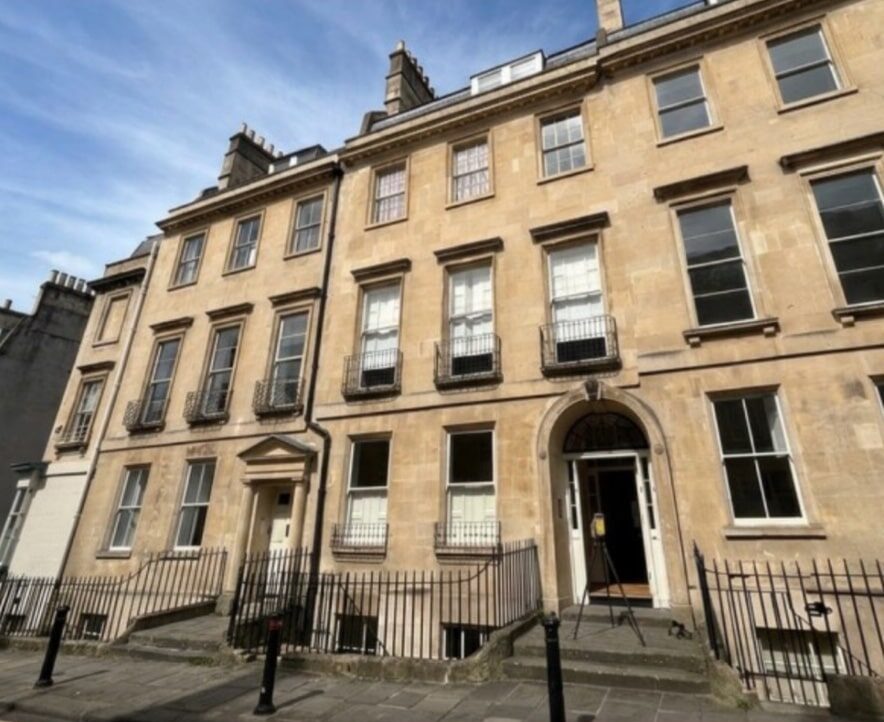
We were asked by this client to attend a property in Thame to complete a Point Cloud Survey. This type of survey consists of us scanning the site with our 3D Laser Scanning technology and then providing just the Point Cloud Data.
They required this data to assist with internal renovations of the property.
Having captured all the data in less than one day, we were able to return the data on the next working day to the client allowing the Architects to get to work straight away.
We provided a RCP. file, Ortho Images and Site Photos for reference.
We produced:
- Point Cloud Data
- Site Photos
- Ortho Images
151m2
Size of building
(m2)
Topographic area
(m2)
1
Day(s) on site
1
Day(s) to produce
PDF/DWG drawings


