We will survey all accessible floors in the property and provide plans showing all visible walls, windows, doors, spot height levels, ceiling/roof heights, window sill/head heights.
Call 0333 335 5085 or send us a message
As every ArchiCAD user knows, it’s a great program for 2D and 3D architects’ work as it brings together technical and aesthetics into one model and uses the ever-more popular BIM (Building Information Modelling) framework. Unlike most other architectural design software, the ArchiCAD program was built for architecture from the start, rather than being an off-shoot of the engineering and computer-aided manufacturing sectors.
However, most UK surveyors use laser Point-Cloud scanning software that is designed to work with other developers’ software such as Revit. This leaves a point of friction, as the architect using ArchiCAD cannot simply import the survey data and must find a workaround for getting the correct file types.
The native file types ArchiCAD uses are .xyz and .e57 extension formats.
XP Surveys, specialists in providing Measured and Topographical surveys to architects and planners, can supply scan data straight from Point Cloud to ArchiCAD. Having the scan data in the correct format to import straight into ArchiCAD makes the simplest and most assured workflow. Simply let us know you are using ArchiCAD, and we’ll scan and provide a CAD output directly to its native file format, saving you time, cost and worry.
For architects who are receiving Point Cloud files in the Revit format of .rvt, .rfa, .rte or .rft, we now provide a professional conversion to ArchiCAD file formats of .xyz and .e57
This service enables a smooth and fast flow for BIM interoperability throughout the survey, design and build phases of architectural practice.
So if you are one of the many ArchiCAD users needing either a new laser scan to BIM, or a conversion of BIM files into ArchiCAD, speak to XP Surveys today.
Posted 21/08/2025
Drone Surveys vs Traditional Land Surveying: Which is More Accurate?
In the evolving field of land surveying, professionals often face the choice: drone survey comparison or traditional land surveying—which delivers better accuracy? With applications ranging from architectural site surveys to stockpile volumetrics, both methods offer distinct advantages. This article compares land survey vs drone imagery, focusing on precision, efficiency, cost, and practical use cases to […]
NewsPosted 21/08/2025
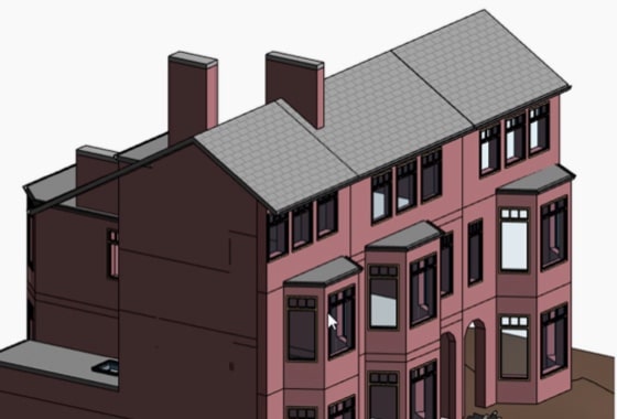
Scan-to-BIM: How 3D Laser Scanning Transforms Building Design & Planning
Scan-to-BIM means using laser scanning to create a detailed digital model of a building. This model shows every feature with high accuracy. The process helps architects, engineers and builders see what is really on-site. In today’s fast-moving construction world, data matters. People need accurate records to plan, design and build with confidence. A simple mistake […]
NewsPosted 20/08/2025
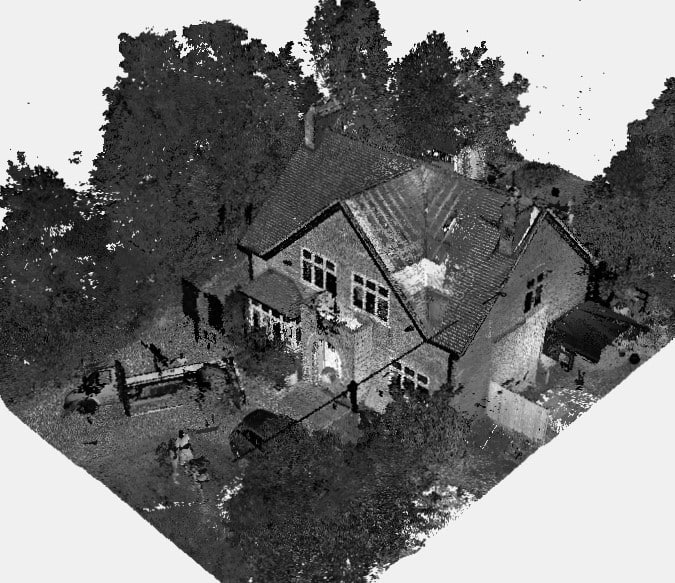
Getting Started with Point Cloud Scanning and BIM Integration
Let’s face it, measuring buildings the old school way is slow, frustrating and full of guesswork. If you’ve ever had to update plans for a renovation or make sense of a messy construction site, you know the pain. That’s why more professionals today are turning to Scan to BIM 3D laser scanning surveys. This modern […]
NewsPosted 19/08/2025
How Drone Roof Surveys Can Save Time & Money for Property Owners
Maintaining a property’s roof can be costly, especially when traditional inspection methods involve scaffolding, extended timelines, and hefty labour charges. However, drone roof surveys are transforming how property owners approach roof assessments — offering a faster, safer, and more cost-effective solution. Unlike measured surveys, drone roof surveys are imagery-only assessments. They capture high-resolution aerial images […]
NewsWe use Area data from your property's EPC certificate and the UK Ordnance Survey database to calculate your quote estimate. If there is not enough data in the UK database we cannot provide an instant quote, but one of our team will be able to provide a formal written quote by email within 48 working hours. If the database holds incorrect data on your property you will still be provided an estimate, but our fee is subject to change to suit the actual size of your property
Your chosen outputs:
"I have found incredible flexibility and helpfulness in the XP Surveys team. In my last 10 professional years, I have rarely found a business, surveyors or otherwise, to be as useful, approachable and competitive as them. It helps provide confidence to myself and my clients alike."
A member of the XP Surveys team will be in touch shortly
Or call 0333 335 5085