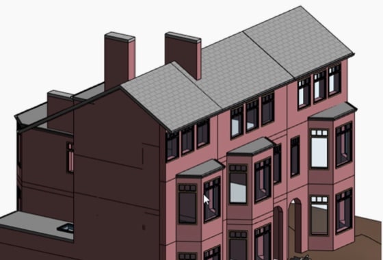
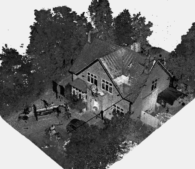
We will survey all accessible floors in the property and provide plans showing all visible walls, windows, doors, spot height levels, ceiling/roof heights, window sill/head heights.
Posted 07/11/2025
How Local Surveying Services Improve Construction & Development Efficiency
In the world of construction and property development, precision is everything. Whether you’re designing a single-storey extension or managing a multi-million-pound housing project, every decision you make depends on accurate data — and that’s where professional surveyors come in. Surveying is the art and science of measuring land, buildings and the built environment. From identifying […]
News
Posted 21/08/2025
Drone Surveys vs Traditional Land Surveying: Which is More Accurate?
In the evolving field of land surveying, professionals often face the choice: drone survey comparison or traditional land surveying—which delivers better accuracy? With applications ranging from architectural site surveys to stockpile volumetrics, both methods offer distinct advantages. This article compares land survey vs drone imagery, focusing on precision, efficiency, cost, and practical use cases to […]
News
Posted 21/08/2025
Scan-to-BIM: How 3D Laser Scanning Transforms Building Design & Planning
Scan-to-BIM means using laser scanning to create a detailed digital model of a building. This model shows every feature with high accuracy. The process helps architects, engineers and builders see what is really on-site. In today’s fast-moving construction world, data matters. People need accurate records to plan, design and build with confidence. A simple mistake […]
News
Posted 20/08/2025
Getting Started with Point Cloud Scanning and BIM Integration
Let’s face it, measuring buildings the old school way is slow, frustrating and full of guesswork. If you’ve ever had to update plans for a renovation or make sense of a messy construction site, you know the pain. That’s why more professionals today are turning to Scan to BIM 3D laser scanning surveys. This modern […]
News
Posted 19/08/2025
How Drone Roof Surveys Can Save Time & Money for Property Owners
Maintaining a property’s roof can be costly, especially when traditional inspection methods involve scaffolding, extended timelines, and hefty labour charges. However, drone roof surveys are transforming how property owners approach roof assessments — offering a faster, safer, and more cost-effective solution. Unlike measured surveys, drone roof surveys are imagery-only assessments. They capture high-resolution aerial images […]
News
Posted 24/06/2025
Revolutionising Property Marketing with Matterport Virtual Tours
The way people search for and view properties has changed dramatically in recent years. While traditional photography still plays a role, there’s a growing shift towards immersive technology, particularly Matterport virtual tours. These interactive 3D experiences are revolutionising how homes and commercial spaces are marketed, offering buyers and renters a realistic and engaging way to […]
News


