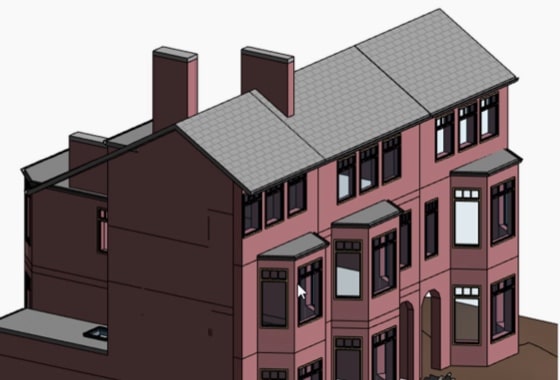
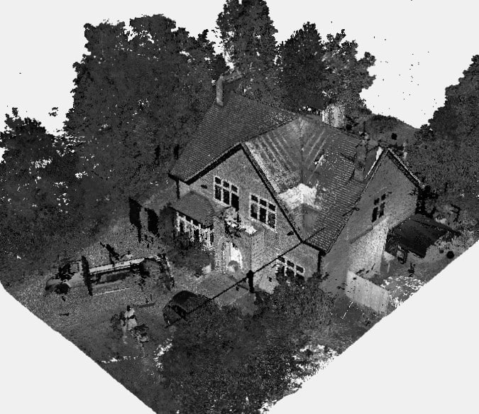
We will survey all accessible floors in the property and provide plans showing all visible walls, windows, doors, spot height levels, ceiling/roof heights, window sill/head heights.
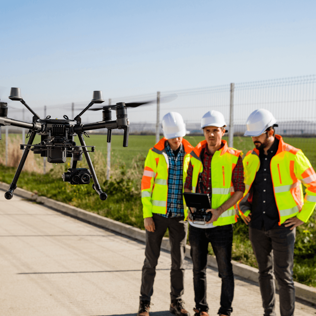
In recent years, drone technology has revolutionised various industries, offering innovative solutions to age-old challenges. One of the most impactful applications is drone surveys. Drone surveys, also known as UAV (Unmanned Aerial Vehicle) surveys, involve using drones equipped with advanced cameras to capture high-resolution aerial imagery.
This type of drone technology has become essential for industries requiring detailed visual data from above, providing clear and comprehensive images of a specific area in a fraction of the time required for traditional photography methods.
Whether you need aerial imagery of a construction site, real estate property, or environmental landscape, our drone surveys deliver precise and high-quality visuals with incredible efficiency.
How Do Drone Surveys Work?
Drone surveys begin with meticulous planning. Surveyors first identify the project’s scope and set clear objectives. Once the parameters are established, a drone equipped with a high-resolution camera is deployed to capture detailed imagery. Here’s a step-by-step breakdown:
Pre-Survey Planning
Determine the area to be surveyed and identify any potential challenges, such as obstacles or no-fly zones.
Data Collection
The drone flies over the designated area, capturing high-resolution images using advanced cameras.
Processing Data
Collected imagery is reviewed and processed to ensure clarity and usability.
Analysis and Reporting
Clients receive high-quality aerial images that provide valuable visual insights for their projects.

Benefits of Drone Surveys
Drone surveys, which rely on the precise operation of drones, are rapidly becoming the preferred choice for many industries, thanks to their numerous advantages:
1. Efficiency
Traditional aerial photography can take days to arrange and execute, but drones can capture high-quality images in just a few hours, significantly reducing project timelines.
2. Cost-Effectiveness
By minimising the need for expensive equipment and manual photography, drone surveys offer a more affordable alternative to traditional methods. The rapid image capture process also helps cut down on overall project expenses.
3. High-Quality Imagery
Drones are equipped with advanced cameras that capture crisp, detailed aerial images. This level of quality ensures you receive the best possible visuals for your project.
4. Safety
Capturing images of hazardous or hard-to-reach areas can pose significant risks to personnel. Drones eliminate these risks by capturing data from the air, ensuring safety without compromising quality.
5. Versatility
From construction and real estate to environmental monitoring, the use of drones for aerial imagery is adaptable to a wide range of applications. They provide perspectives that are difficult to achieve with traditional photography methods.
Applications of Drone Surveys and Aerial Imagery
Drone surveys have found applications across various sectors, offering tailored solutions for specific needs:
- Construction: Monitor site progress, capture aerial visuals, and assess potential risks.
- Real Estate: Capture stunning aerial imagery to showcase properties and land.
- Agriculture: Monitor crop health and manage land effectively with aerial views.
- Environmental Management: Track changes in ecosystems, manage forests, and monitor coastal erosion.
- Infrastructure: Inspect bridges, roads, and other infrastructure using aerial imagery without disrupting daily activities.

Why Choose XP Surveys for Drone Surveys?
At XP Surveys, we combine expertise, advanced technology, and a client-focused approach to deliver unparalleled results. Our drone surveys leverage the latest innovations in aerial photography and imaging to meet diverse project needs.
What Sets Us Apart
- Unmatched Expertise: Years of experience across various industries ensure precise and effective solutions.
- Cutting-Edge Tools: We utilise state-of-the-art drones and high-resolution cameras for exceptional image quality.
- Tailored Solutions: Whether it’s capturing aerial imagery for real estate, construction, or environmental monitoring, our services are customised to your goals.
Discover the difference XP Surveys can make for your project—contact us today to get started!
Conclusion
Drone surveys are transforming how we capture aerial imagery, offering a faster, safer, and more cost-effective alternative to traditional methods. Whether you’re managing a construction project, showcasing a property, or conducting environmental research, drone surveys provide the high-quality visuals you need to succeed.
Ready to harness the power of drone technology for your next project? Contact XP Surveys today to learn how we can help.


