Reliable measured building surveys and topographical (topo) surveys need to be extremely accurate. To create pinpoint-accurate measurements, a surveying firm needs to use the latest cutting-edge technology to achieve the results demanded by their discerning clients.
At XP Surveys, we appreciate the requirements of London architects when they request measured building surveys. We’re architects as well as surveyors, that’s why the equipment we use is designed to deliver the most accurate measurements.
Our equipment can consistently create drawings to an accuracy of +/- 2mm. In this article, we’ll outline the equipment we use which allows us to reach such standards, and how it works.
State of the art CAD scanning equipment
As industry leading surveyors, we are always on the lookout for the latest upgrades to CAD scanning equipment. This means we are among the earliest adopters of new technology in our field.
XP Surveys’ 3D Laser Scanning Equipment
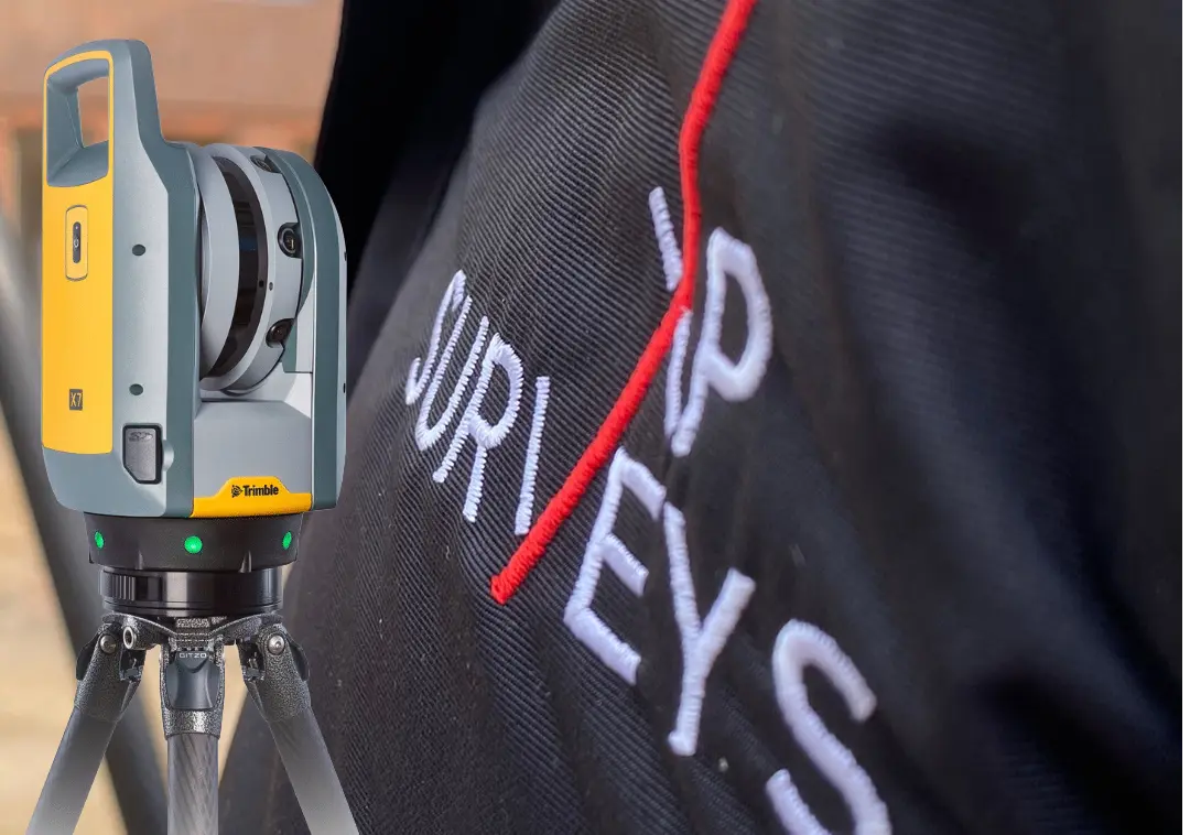
At XP Surveys, we use an advanced range of professional 3D laser scanners, including the Trimble X9, Trimble X7 and Leica RTC360. Having access to several scanning systems allows our surveyors to select the most appropriate equipment for each building, site and project specification.
Trimble X9 3D Laser Scanner
The Trimble X9 is the latest addition to our surveying equipment. Depending on its configuration, it can capture up to one million measurement points per second and survey features at distances of up to 150 metres.
Automatic calibration and self-levelling help maintain consistent scanner performance, while integration with Trimble Perspective software enables our surveyors to register, review and validate scan data while still on site. This helps identify any potential gaps before leaving the property and reduces the likelihood of a repeat visit.
Trimble X7 3D Laser Scanner
The Trimble X7 is a versatile 3D laser scanner that supports the efficient capture of accurate point cloud data across residential, commercial and construction environments.
Its automatic calibration, self-levelling and in-field registration capabilities support reliable data capture and straightforward site workflows. Its portability also makes it particularly useful when surveying multi-storey buildings, internal spaces and properties containing numerous rooms or restricted areas.
Leica RTC360 3D Laser Scanner
The Leica RTC360 is a fast and portable reality-capture system capable of recording up to two million measurement points per second. It can produce detailed coloured 3D point clouds using integrated high-dynamic-range imagery.
Leica’s Visual Inertial System helps track the scanner’s movement between individual positions and supports the pre-registration of scans in the field. This is particularly valuable when capturing large properties and complex layouts containing numerous scan locations.
Choosing the Right Scanner for Each Survey
Each property and site presents different surveying requirements. Rather than relying on a single scanner, our team can choose between the Trimble X9, Trimble X7 and Leica RTC360 3D laser scanners according to the building’s size, complexity, access conditions and required deliverables.
These technologies allow us to capture millions of precisely positioned data points and create a comprehensive digital record of the existing building or site. The resulting point cloud data can then be used to produce accurate floor plans, elevations, sections, 3D Revit models and other coordinated survey deliverables.
We know architects and contractors demand the latest technology. Why? That’s because we are architects ourselves, and in our role as surveyors, we work hand-in-hand with architects and contractors regularly, learning of their changing requirements and expectations.
One of the key pieces of specialist equipment we use to produce surveys is the Leica Geosystem total station. This system is noted for its high quality and efficiency and is used by professionals all around the world.
One of the significant advantages that the Leica Geosystem total station offers is its durability, which means it can function reliably in any climatic conditions.
The technology also allows us to produce surveys that span between half a day to a full day for residential properties. Commercial properties such as warehouses and larger properties may take longer, but we will make this clear during our quoting process.
The accuracy of our technology and the experience of our team – our co-founder Ben Richards also owns Aura Homes, an award-winning architectural process – means fellow property professionals can trust us implicitly.
There should be no need to supervise our site visits, our service is totally hassle-free, so simply arrange access for our surveyors and we’ll do the rest, turning up on time and delivering a superior survey.
Drawings available in your preferred format
Measured surveys and topo surveys need to be incredibly detailed to ensure future construction projects can be completed without complications. That’s why we go to the lengths of including neighbouring environmental details up to 3 metres.
This takes into consideration all boundaries in every direction, details on ceiling heights throughout the property including basements and attics, location and height of trees, boundary lines, and any other notable features which will impact the way a construction project will proceed.
To make life even easier for the professionals that use our surveys, we ensure our drawings are available in AutoCAD (.DWG), Revit (.RVT) or PDF formats.
3D Point Cloud
Point Cloud surveys are becoming standard practice to guarantee the most accurate surveys with high precision.
3D Point Cloud surveys use a laser to scan the interior and exterior of a building. When all of these data points are taken together, you have Point Cloud Data. The high-tech equipment we use scans and measures each and every point of your building, presenting pinpoint accurate 3D models.
Aside from the exceptional levels of accuracy, one of the most significant benefits of 3D Point Cloud technology is its efficiency, as it enables a survey to be carried out with fewer labour costs and it requires only a very brief setup period to capture accurate data. The data collected can be exported and shared in a number of formats to suit discerning clients.
As built 2D drawings
Using 3D Point Cloud data we can produce 2D floor plans, elevations, and sections. It is highly beneficial to have as-built 2D drawings to hand during a construction project, this resource is used during the construction process to visualise the changes that will be made.
The drawings are also helpful should plans need to be reviewed or altered. With as-built 2D drawings to refer to, contractors will intimately understand the dimensions of a space and locations throughout the site.
360-degree imagery
Need a virtual site tour? In the post COVID-19 world, there’s no need to visit a site again. Our 360-degree images are captured by our state-of-the-art scanning equipment. These 360-degree scans make you feel like you are in the middle of the site, examining its fine details up close. Whatever stage of your project, you can refer back to the scans at any time, meaning you have clear oversight at all times.
Please contact us today: ring 0333 335 5085, or email info@XPsurveys.co.uk, or please fill out our online quote request form.